An Overview Of Sunspot
Sunspot, New Mexico
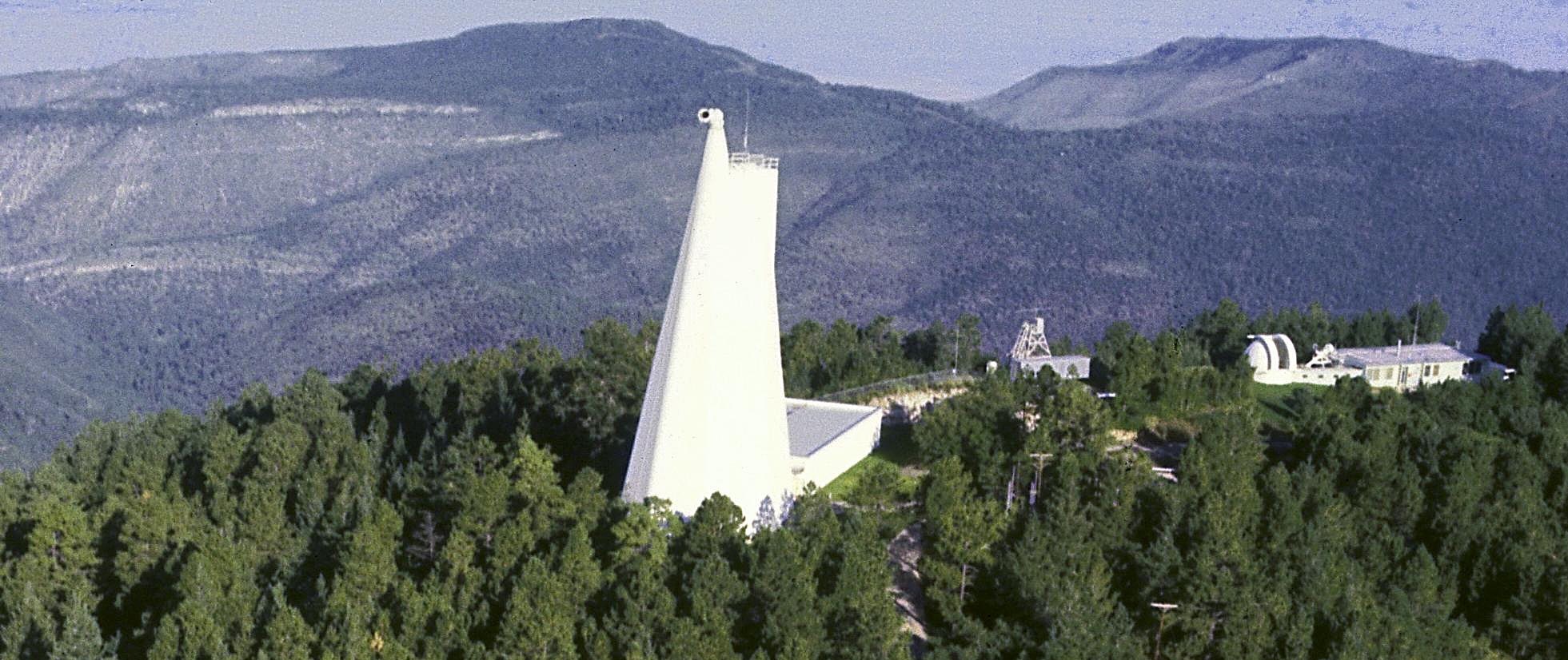
Sunspot is an unincorporated community in the Sacramento Mountains in Otero County, New Mexico, United States. It is located within the Lincoln National Forest, 16 miles south of Cloudcroft, at an elevation of 9200 feet (2800 m). It was named after the nearby National Solar Observatory on Sacramento Peak. The sole road that drives into Sunspot is New Mexico State Road 6563, named for the brightest wavelength of hydrogen emission, H-alpha, one of the most important spectral lines in astrophysics. The night-time Apache Point Observatory and Sloan Digital Sky Survey telescope is about 1/2 mile from Sunspot, on an adjacent peak.
Drive through the Solar System
Sunspot Solar Observatory is dedicated to offering visitors an interactive experience, beginning with its Solar System Scale Model, which begins miles away from the Observatory grounds.
While driving through the town of Cloudcroft, and along NM 6563, keep an eye out for blue highway signs bearing the names of the planets. These signs are our scale model of the solar system. The scenic drive is a great way to illustrate the size of the solar system and the distance between the planets. It may surprise you just how close the Earth is to the Sun on this scale!
Given that it takes approximately 8 minutes, 20 seconds for light from the Sun to travel to Earth, the speed of light on this scale is only 3.24 mph. Driving the speed limit on the solar system scale means you are traveling approximately four times the speed of light!
At the Observatory
There is an admission fee for the museum and observatory grounds, which can be purchased inside the Visitor Center.
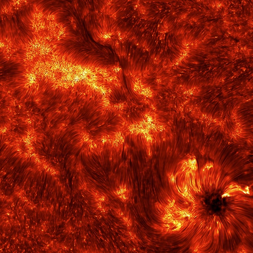
Sunspot Solar Observatory Consortium runs the Visitor Center and Dunn Solar Telescope, in collaboration with the NSO who runs the Sunspot site. The Dunn Solar Telescope is a one-of-a-kind solar telescope that produces some of the sharpest images of the Sun available in the world.

Would you like to support our observatory? Click below to make a contribution. We sincerely appreciate your generosity!

